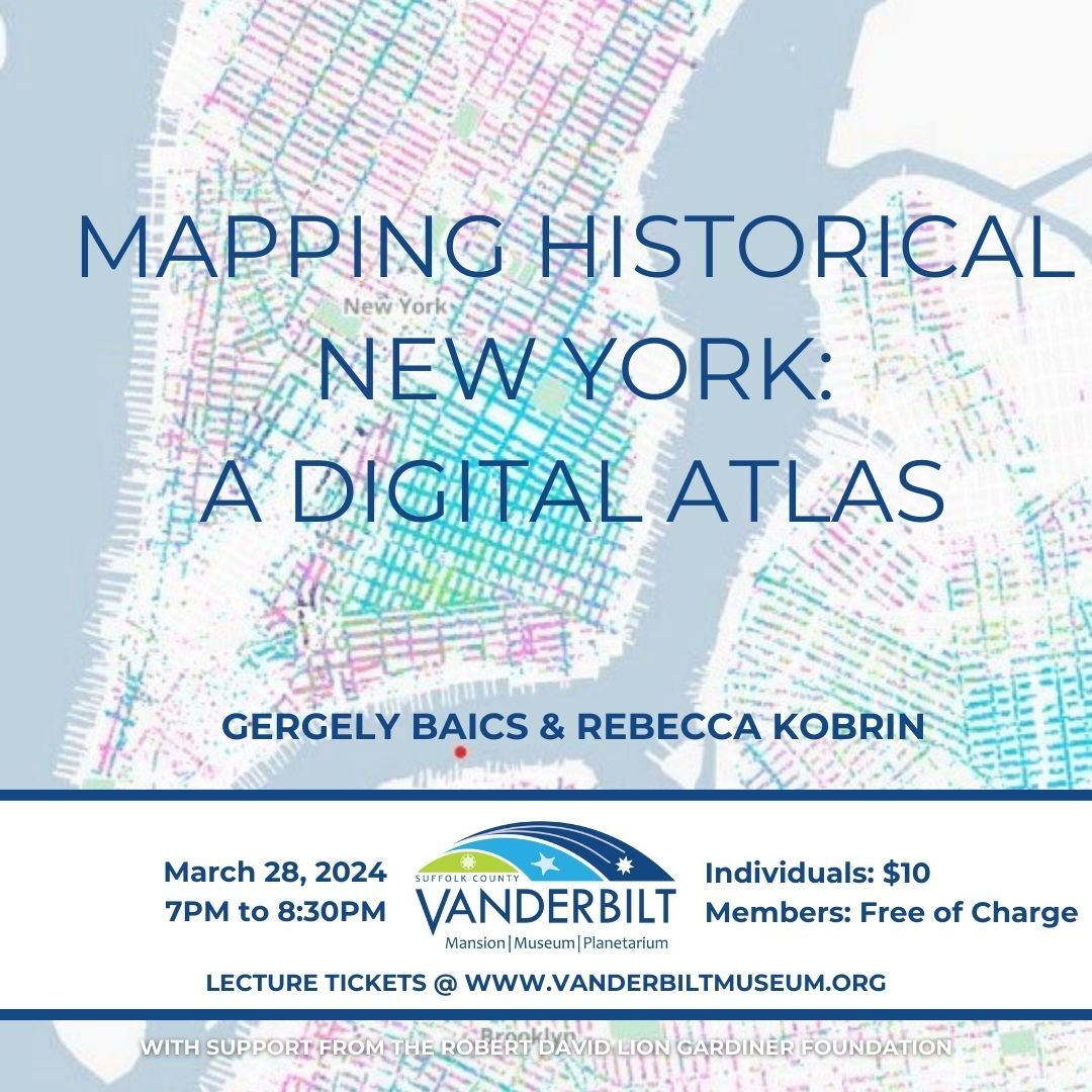
Gergely Baics and Rebecca Kobrin will give a lecture, Mapping Historical New York: A Digital Atlas, at the Suffolk County Vanderbilt Museum at 7:00 pm on Thursday, March 28, in the Reichert Planetarium.
The project visualizes Manhattan’s and Brooklyn’s transformations during the late nineteenth and early-twentieth centuries. Drawing on 1850, 1880, and 1910 census data, the Digital Atlas shows how migration, residential, and occupational patterns shaped the city.
The Digital Atlas breaks new ground by locating each person counted in the Census at their home address, sometimes before the street grid was even established.
The creators used preserved historical maps and city directories, and even traced census takers’ steps, to locate residences. The Atlas is a living project that will expand to include all five boroughs up to the 1940 census.
Baics is Associate Professor of History and Urban Studies and Helman Faculty Chair of Urban Studies at Barnard College. Kobrin is Russell and Bettina Knapp Associate Professor of American Jewish History at Columbia University.
The creators invite visitors to use the website’s interactive features to map and visualize the residential geographies of New Yorkers and Brooklynites. Many histories of New York may be found in the maps. The Digital Atlas includes a few case studies to show how selected data may be visualized to tell a story – and visitors are invited to create their own. Those interested in more in-depth research and alternate methods of visualizing data may access the digital layers and underlying data of the assembled maps.
Baics and Kobrin are co-principal investigators for the project, the result of a multi-year interdisciplinary collaboration between Columbia University’s Department of History and the Center for Spatial Research at the Graduate School of Architecture, Planning and Preservation.
Funding for the project is provided by the Robert D.L. Gardiner Foundation.